Choose your next walk
The North Wessex Downs is jam-packed full of Rights of Way through beautiful landscape. Scroll down for our selection of walks, search by length, availability of public transport to the start or use the interactive map to search by location. (We will be adding more walks here in the future.)
Before you set out …
While we make every effort to check our walks before we publish them, sometimes we rely on information received from people outside our organisation. Things can change; paths become overgrown or diverted, fences are moved… Be prepared to change your plans or your route. Take a map (and a compass if you can); learn how to use them and keep checking that you know where you are. Download a location app to your phone and keep your phone charged up.
If you find that a path is not accessible, or there is an access problem, please report this to the appropriate local authority Public Rights of Way team. Read The Countryside Code and follow it at all times.
For information on walking near cows, or other livestock, read advice from the Ramblers. Location of livestock can change. Parking: please park considerately. Do not park on verges – this will destroy fragile plants. Do not park in gateways or block roads – residents and farmers have to move about and access their homes and places of work.
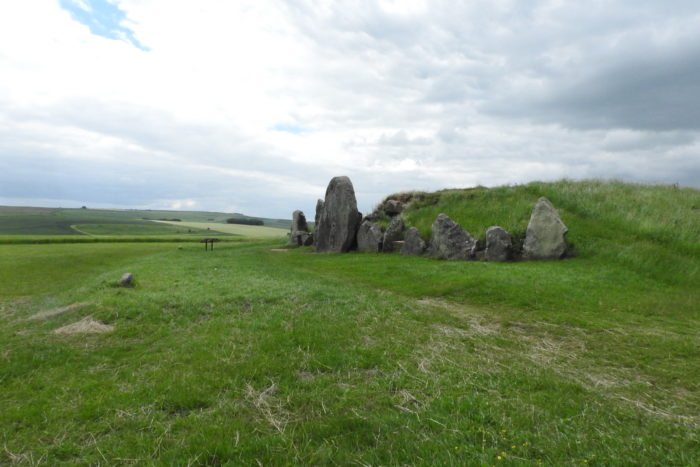
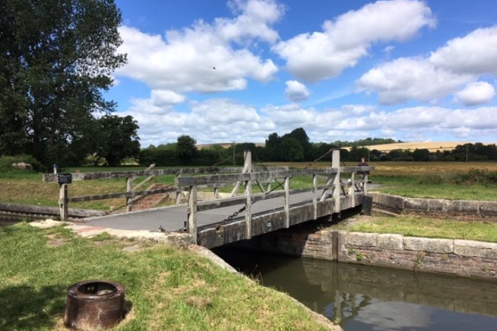
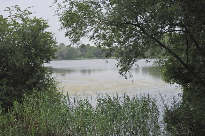
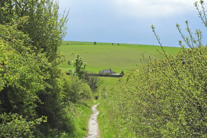
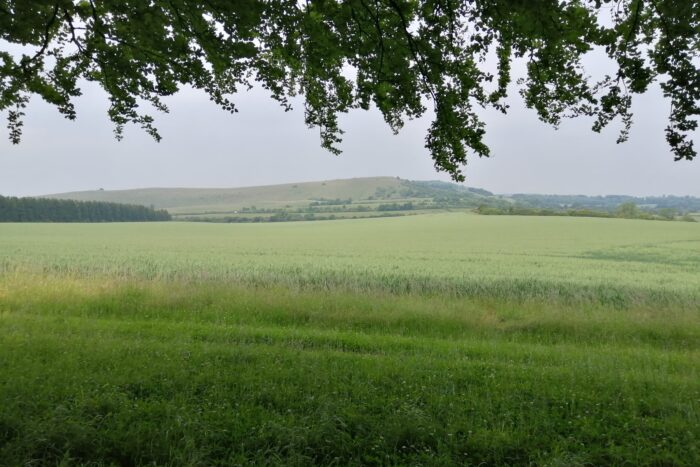
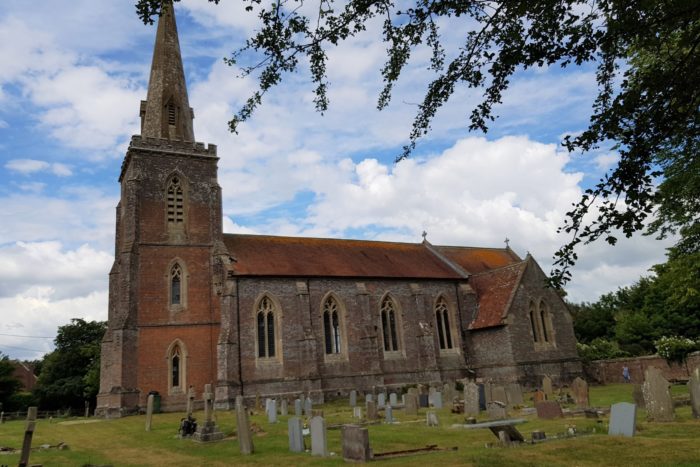
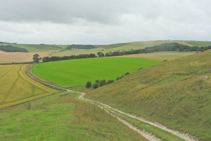
East Garston walk, Jacky Akam; St Barnabas Church at Peasemore, J Akam; Liddington Hill from sugar Hill, J Akam;
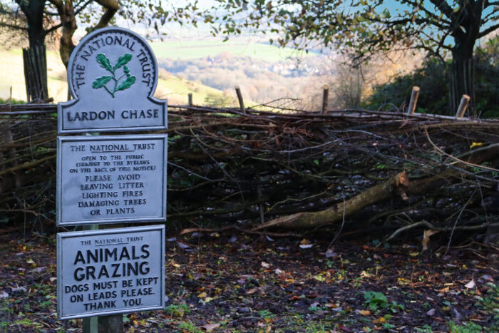
Ogbourne walk, Ted Hisccocks; Pewsey Vale Canal & White Horse Trail, J Akam; Littlecote mosaic, Ann Shepley; Woolton Hill boardwalk, Claire McCorquodale; The Holies and Lardon Chase Golf Club, Sarah Richardson

