The North Wessex Downs National Landscape lies at the heart of the chalk band that stretches across southern England and includes other protected landscapes such as the Chilterns, Cranborne Chase and the South Downs.
This chalk was formed in the late Cretaceous period – 145-65 million years ago – when dinosaurs roamed the earth and the land mass that is now England lay under a warm sea near the equator. The sea was teeming with billions of microscopic single-celled marine algae called coccoliths that are the source of today’s chalk. As the land rose above the sea – due to the ripple effect created by the formation of the Alps 65-2.6m years ago – the layers of chalk formed the North Wessex Downs.

The chalk forms an arc of high ground – the northern, western and southern parts of the National Landscape – cut through by the Vale of Pewsey to the west, and including, at Walbury Hill, the highest chalk hill (297m) in southern England.
From this great rim, the land generally falls down the dip slope of the chalk to the central basin of the east-flowing Rivers Kennet, Lambourn and Pang.

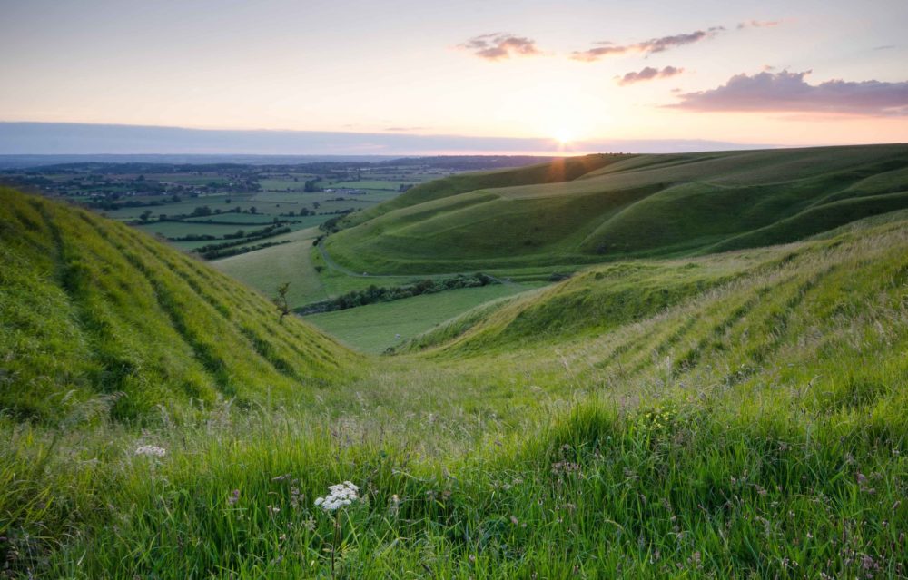
The greater part of the area is underlain by chalk, resulting in the dramatic scarps and beautiful gentle rolling topography so characteristic of the North Wessex Downs.
Geology, landform and the uses that humans have made of the land have together created the distinctive and beautiful landscapes of the area.
Chalk Grassland
These high chalk landscapes with shallow soils were traditionally used for sheep grazing – the wool being the source of much of England’s historic wealth. However, much of the chalk grassland has been ploughed over the last two centuries, and the resulting extensive, open arable land is now the most frequent landscape of the chalk downs.
Species-rich chalk grassland mostly only remains in fragments on the steeper scarps, amounting to around 3-5% of the total chalk grassland area in England.
Chalk Streams
Chalk is highly porous: the microscopic spaces between the particles can soak up enormous quantities of rainfall before it has chance to run off into streams and rivers. The chalk acts as a storage tank (an aquifer) filtering it as it slowly emerges at a steady temperature all year round to form glittering chalk streams – which are typically fast flowing, with washed gravel beds and deeper pools and the perfect habitat for brown trout, grayling and other wildlife such as water voles. Many of the chalk valleys are dry but some have characteristic winterbournes – rivers that flow when the water table is high. England has 85% of the world’s chalk streams and a large proportion of this resource is located within or near the North Wessex Downs.
Coombes
Some of the more impressive features of the landscape are the dry valleys or coombes, found across the chalk plateau and often forming deep rounded valleys.
They are the result of torrents of water flowing over the surface of the chalk during cold periods when permafrost (frozen ground) made the chalk impermeable.
Sarsens
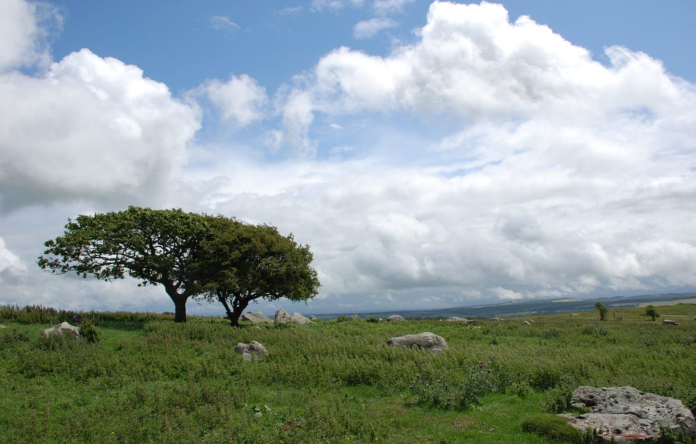
Sarsen stones are one of the most identifiable and well-known features of the North Wessex Downs, forming the great stone circle and avenues at Avebury and the fields of ‘grey wethers’ (because they look like sheep) at Fyfield Down.
Sarsens are silica-cemented sand or pebble deposits, often moved a considerable way from their source by natural processes.

