This event has already taken place.
This walk takes in part of the new 24-mile Watership Down Trail, exploring some of the sites immortalised in Richard Adams’ much-loved novel, Watership Down. The walk leaders have an inside perspective, both coming from nearby Whitchurch, where the author lived.
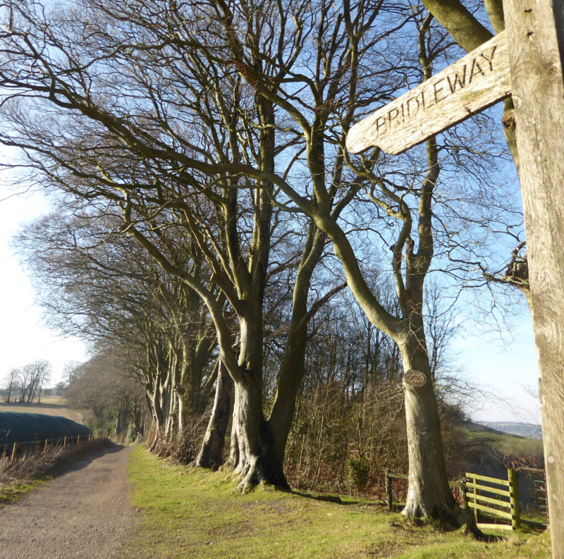
Our 6-mile route commences at Nuthanger Down, continues along Ashley Warren Down and Caesars Belt, then cuts across to Owl Lodge before heading back to Nuthanger Down. Along the walk, we will watch and listen out for wildlife, including skylarks and orchids.
There is an optional detour, which will add a mile to the walk, but enables those who take it to enjoy exceptional views to the north of the Downs from the Iron Age hillfort on Ladle Hill.
We will walk at a medium pace. Please note that this is undulating countryside, and there will be two short steep ascents, but we will be sure to take breaks on the climb. We recommend wearing long trousers as we will be crossing grazing land and there is a risk of ticks. Don’t forget your water, and a snack if needed. There will be a 10-minute break for refreshments at the halfway point. After the walk, you may wish to picnic in a meadow near the meeting point.
For details of the full 24-mile trail, see Watership Down Trail instructions. Nuthanger Down is Waypoint 16.
Walk Leader/organisation: Charmaine Hoey, Whitchurch Wednesday Walks
Walk information
- Booking: Free – Booking essential – 20 places
- Distance & approximate duration: 6 miles (10 km); 7 miles with optional detour (11.5 km) – 3.5 hours
- Difficulty: Moderate (more challenging, for keen/active walkers).
- Accessibility: Suitable for older children (12+). Under 18s must be accompanied by an adult (see useful information). Not suitable for wheelchairs or prams/pushchairs.
- Dogs: No dogs.
- Refreshments: Bring drinks and snacks as needed. After the walk, walkers are welcome to picnic in a meadow near the meeting point. There are no places to purchase refreshments on the route (see below).
- Toilets: There are no toilets on the route (see below).
- Meeting point: Parking area on the country road at Nuthanger Down; nearest postcode is half a mile south, RG28 7QH. What3Words: novelists.dream.curtains. OS grid reference: SU 491 565.
- Public transport: None available.
- Parking: Free roadside parking at Nuthanger Down. There is space for around 10 cars, so please car share if possible.
For general booking information, health and safety advice, terms and conditions please see our useful information page.
Further information
For toilets and refreshments, the centre of Whitchurch is approx. 6 miles (13 minutes’ drive) from the walk meeting point. See Whitchurch, Hampshire.
For more information about the route and full trail, see Watership Down Trail and Watership Down Trail instructions.
Established in 2009, Whitchurch Wednesday Walks (formerly Walking for Health) is a walking group that walks every week of the year, whatever the weather. The walks are free and led by volunteers – everyone is welcome, come and join us! See Whitchurch Wednesday Walks.
This walk is brought to you by our partner:
Whitchurch Wednesday Walks