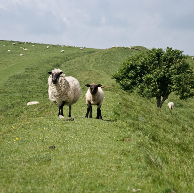
This 5th or 6th Century defensive ditch and bank runs from Morgan’s Hill near Bishops Canning to Savernake Forest near Marlborough.
Named Woden’s Dyke after the Saxon god, Woden, the Wansdyke was constructed at a time when history was not often written down and there is little archaeological evidence to add clues. It was most likely made by the Britons as a defensive earthwork to keep out the Saxons invading from the North. Up on the Marlborough Downs some of the impressive two-metre high banks remain in place to this day.
The Wansdyke Path is a long distance walking route of just under 13 miles, passing through unspoilt countryside from Marlborough to Morgans Hill. Sections of the path enable you to walk along the top of the bank for commanding views over the surrounding countryside.
The Wansdyke has two further sections to the west. The middle section is part of the London to Bath Roman Road; the final section from Monkton Coombe south of Bath, to Maes Knoll south of Bristol, is less easy to pick out in the landscape as it has been eroded by farming over the centuries.
Further Information
Wansdyke Path – Long Distance Footpath
From Marlborough:
What3words : removers.suspends.feelers
Grid Ref: SU187686
Postcode: SN8 1PA
To Morgan’s Hill:
What3words: detective.suspends.scratches
Grid Ref: SU018672
Postcode: SN10 2LW


